Chartered Judgement for Complex Geospatial Data
Who We Help
We work with organisations that want complete confidence in their spatial data, backed by experienced oversight and technical expertise at every stage. Our proven team takes on the technical responsibility for your data, bringing structure and control to the programme so you can trust the information delivered.
Our team are brought in when:
The geospatial data requirements are complex or high-risk
An internal team is scaling or missing professional judgement
Data is critically relied upon by other systems and tools
New technology needs deploying without compromising engineering standards
Timely data delivery is vital to a project's trajectory
Spatial certainty is a must
We provide Spatial Certainty to organisations in three ways:
Technical Leadership & Specialist Capacity
We give teams access to established judgement and field-proven expertise, making certain the data delivered is fit for purpose. We bring clarity and control to complex projects, replacing reactive decision-making with confident, considered judgement.
We bring:
Chartered technical oversight - defining, controlling and safeguarding delivery
Specialist capacity - experienced, real-world judgement to complex projects
Engineering methodologies - robust data-collection and reality capture conversion processes
Mentorship & training - upskilling in-house teams through hands-on knowledge transfer
-
Protecting the Programme & Budget
Geospatial consultancy for complex, high-value programmes
Technical delivery that keeps pace with the programme
Reliable data that removes uncertainty and reactive decision-making
-
Expanding Your Expertise Without Permanent Headcount
Supporting you to scale up to Tier 1 project work
Varied specialist expertise and capacity when you need
Ongoing support for complex and high risk work
-
When Uncertainty Isn’t An Option
Chartered consultancy for complex challenges
Technical delivery and regulatory compliance
High-order primary control and quality assurance
Asset condition, as build and hand over information has to be right
-
Every Boundary, Accounted For
High-accuracy geospatial data capture
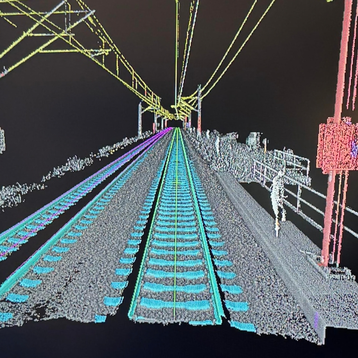
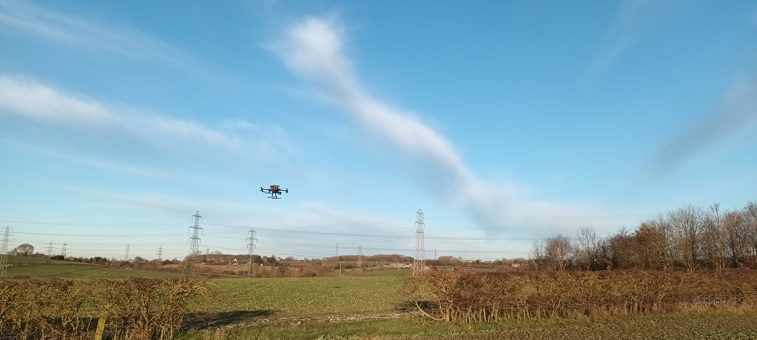
Remote sensed, airborne, UAV, laser scanning, CAD, 3D models and engineering survey data to support project planning and delivery.
Consistent and reliable delivery
Processing geomatics data ready for spatial databases
Suitable for complex spatial analysis
-
Precision On A Deadline
Wide area mapping for logistics planning
3D scans
Walks thoughts
360 images
UAV images and maps
CAD and design support for complex site layouts
Survey-grade setting out and detailed as-built data
Utility data for safe temporary building placement
Professional experience and technical responsibility
Assured Spatial Data Delivery
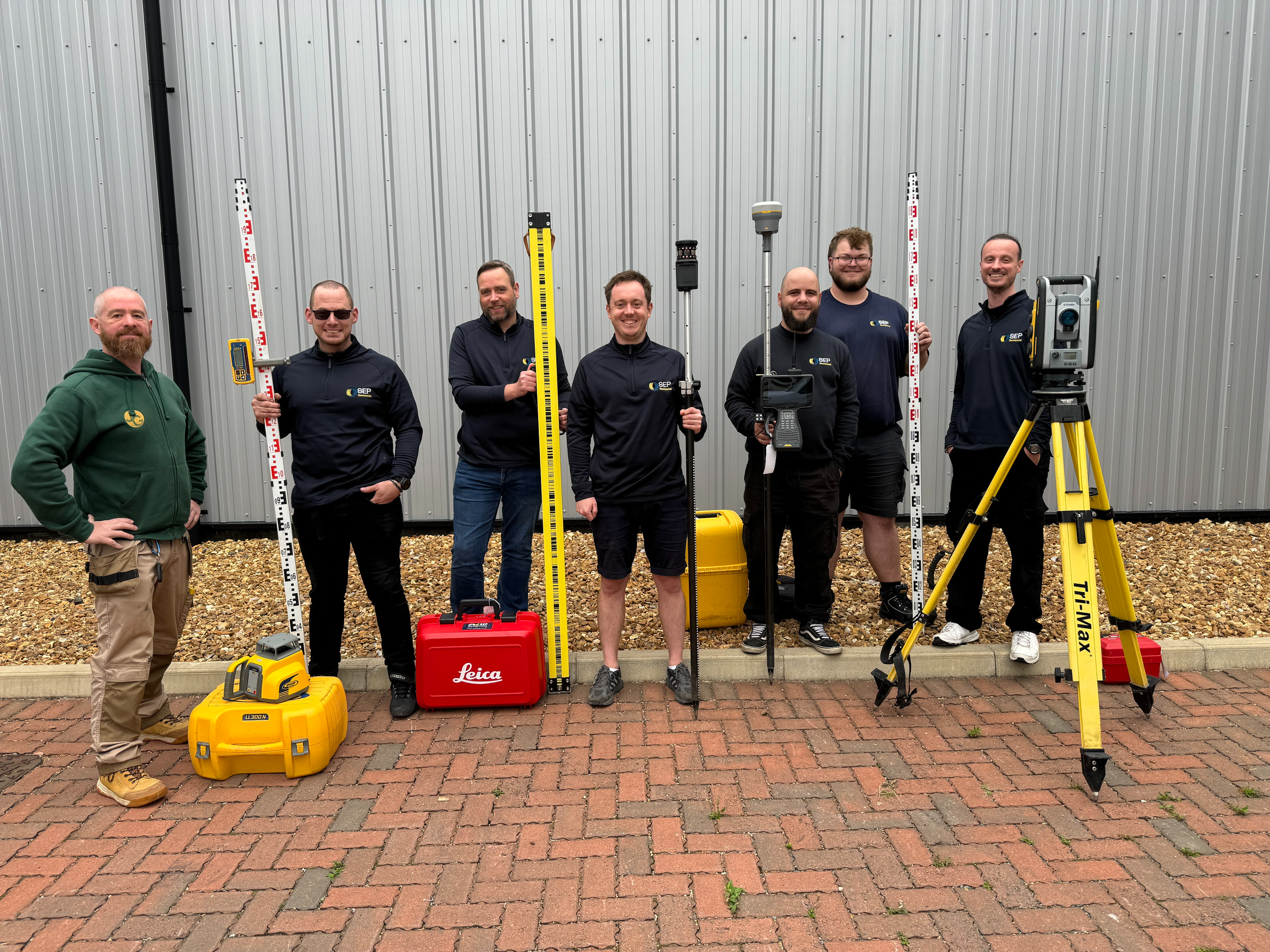
Jennings & Cooke gives you access to professional surveying expertise without the overhead of building it in-house. We take full accountability and ownership of the spatial data lifecycle from planning through to delivery, so you can trust that what reaches you is fit for purpose and ready to use. This is useful for:
Major Asset Owners requiring an evidence-based picture of their estate to inform maintenance and investment decisions
Visual Asset Management Providers needing spatial data collection handled for them, delivered with minimal risk and friction
Digital Twin Providers seeking reliable, collated data to accurately connect the physical and digital worlds
Design & Engineering Specialists relying on high-fidelity building surveys (MBS) and topographical data for planning and design
Projects requiring independent quality control of third-party data to verify it meets project specifications
Strategic Support for Spatial Products
We work at the cutting edge of geospatial technology. We always know the state of the art and what is possible with current engineering and geospatial systems. We often help companies launching innovative products to create the legal, commercial, marketing and sales collateral, systems and processes needed to place and launch a product in the market.
-
Legal Entity Setup: Establishing a single legal entity to hold all intellectual property, separating from the existing business.
Business Planning: Developing an investor-ready business plan, 5-year roadmap and financial model.
Valuation & Market Analysis: Defining the total addressable market and establishing a defensible valuation to strengthen investor and acquirer conversations.
Funding Strategy: Identifying and pursuing funding routes - including innovation funding, letters of intent, and angel/strategic investment - leveraging previous bid experience.
Strategic Introductions: Providing passive, good-faith introductions from our established network.
Value Proposition & ICP Discovery: Conducting workshops to refine the value proposition and ideal customer profile before asset creation.
Competitive Positioning: Analysing the competitor landscape to ensure the pitch is sharp and differentiated.
Brand Assets: Creating a branded website with a trusted third party and developing case studies for key clients.
Content Production: Turning technical demonstrations into launch-ready marketing materials.
Outbound Infrastructure: Building lead infrastructure and CRM systems for direct outreach to systems operators.
Ongoing Support: Providing continuous brand and campaign support through launch and beyond.
Why Choose Jennings & Cooke?
Expertise.
Independent Assurance.
Technical Depth.
Flexible Capacity.
Spatial Certainty.
Talk to Us Before Setting Out Begins
Bring us in before control needs establishing or third-party data needs checking. You'll have senior surveying capacity ready, at agreed rates, from a team that already knows how you work.