
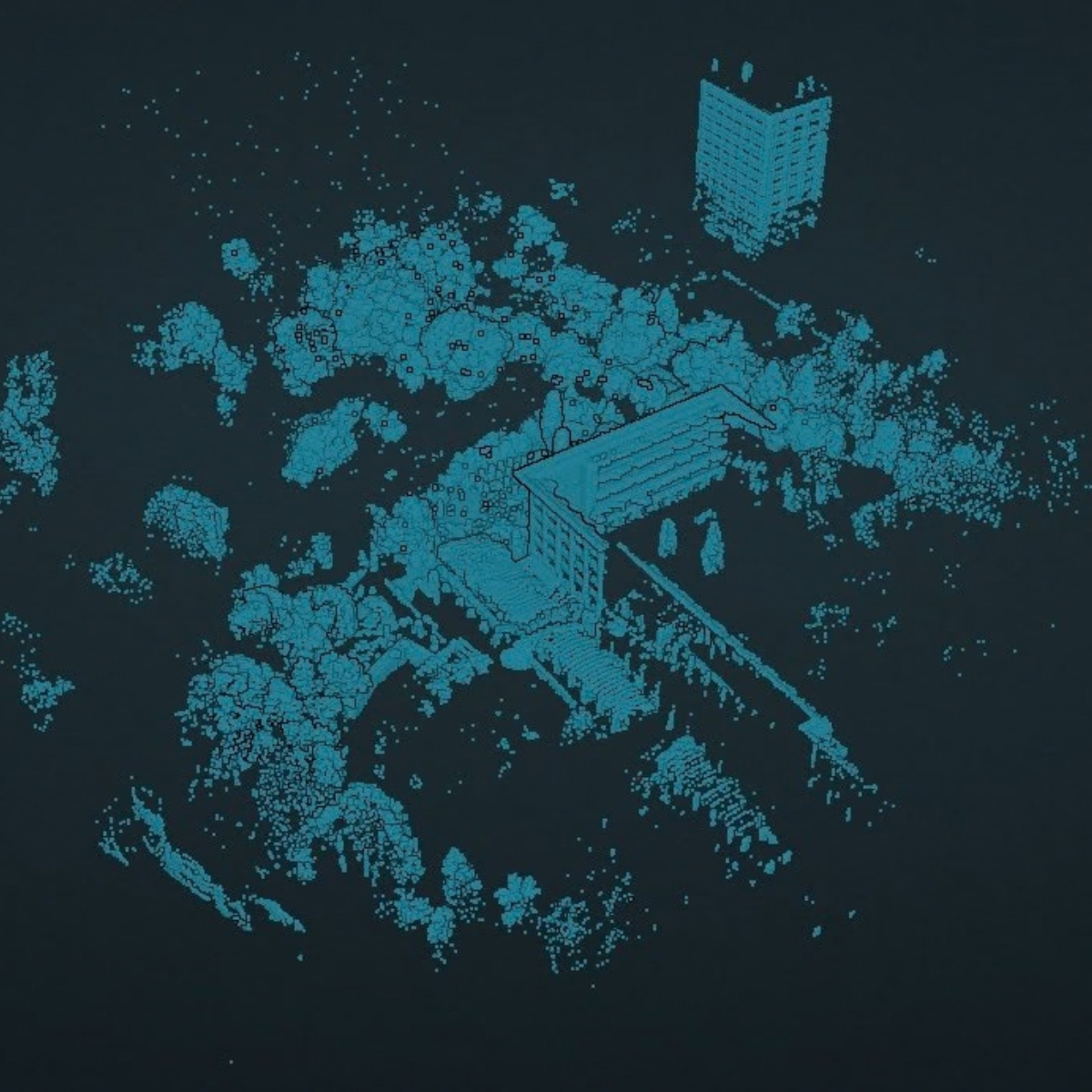
Spatial Certainty for the Built & Natural Environments
What We Do
We provide technical expertise across the spatial data lifecycle, laying the right foundations for successful delivery.
In every project, we establish and maintain a spatial foundation that’s committed to providing the correct data to design, build and manage assets from.
We close the divide between complex physical environments and the digital workspace, ensuring that from the first primary control point to the final output, your spatial data remains an indisputable source of truth.
How We Provide Spatial Certainty
High-order Data Capture and Site Control
Every project depends on the integrity of its spatial foundation. It’s crucial the design, fabrication and construction remain exactly aligned throughout the project lifecycle, and we work alongside our partners to ensure that alignment holds from concept to completion.
When a geospatial project is complex, technical assurance is a must. We employ a number of geomatic workflows to safeguard the correct delivery of data:
1. Primary Control Networks
Installation of high-order geodetic networks, or existing controls examined, to provide a consistent, repeatable framework for all site contractors.
2. As-Built Capture (Topographical & Measured Building Surveys)
High-precision aerial, UAV, laser scanning and topographic surveys tailored to the environment, tolerances and intended use of each project.
3. Deformation Monitoring
Millimetre-level tracking of structural movement to manage risk during sensitive works.
4. Boundary Validation
Definitive mapping for Land Registry compliance, planning and legal interface management.
Delivering Usable Data
Raw point clouds and site data only create value when they integrate seamlessly into the workflow they were collected for. Our team transforms spatial datasets into quality assured, usable deliverables. We remove the technical burden that comes with complex geospatial work, inserting spatial judgement and experienced governance to the data collection and processing of critical projects.
-
Precision 3D vectorisation for clash detection and coordination.
-
Professional 2D drafting of plans, elevations, and sections, delivered to the specific layering and CAD standards.
-
Segmenting and vectorising point cloud data to add the required layers and context to GIS, CAD and digital twins.
-
Independent auditing of existing spatial data to ensure it is accurate and fit for purpose.
-
Accurate Visual Representations (AVRs) for planning submissions and impact assessments.
WE COVER:
Commercial & Operational Acceleration
We apply our chartered expertise to navigate highly technical contracts and refine internal processes, driving efficiency across the board, while you receive an approach that is both defensible and commercially competitive.
In the case of technology and software providers, we bring real-world experience, data and connections to allow you to demonstrate and scale your product.
Areas we support in the commercial market include:

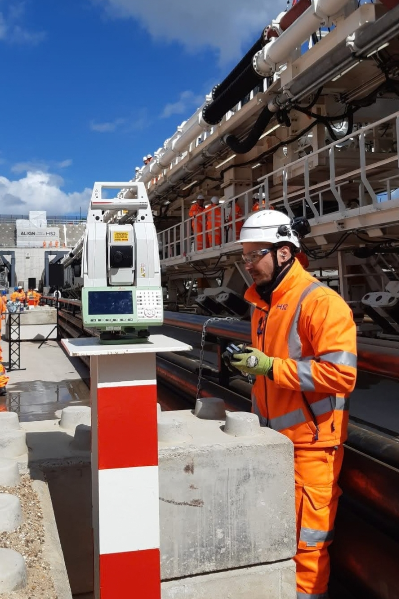
Decoding standards and specifications, and drafting the copy, methodology statements and risk assessments to demonstrate technical competence to your potential clients.
TENDERING & BIDS
Reviewing internal quality control and data-handling processes to reduce errors and improve output consistency.
WORKFLOW AUDITS
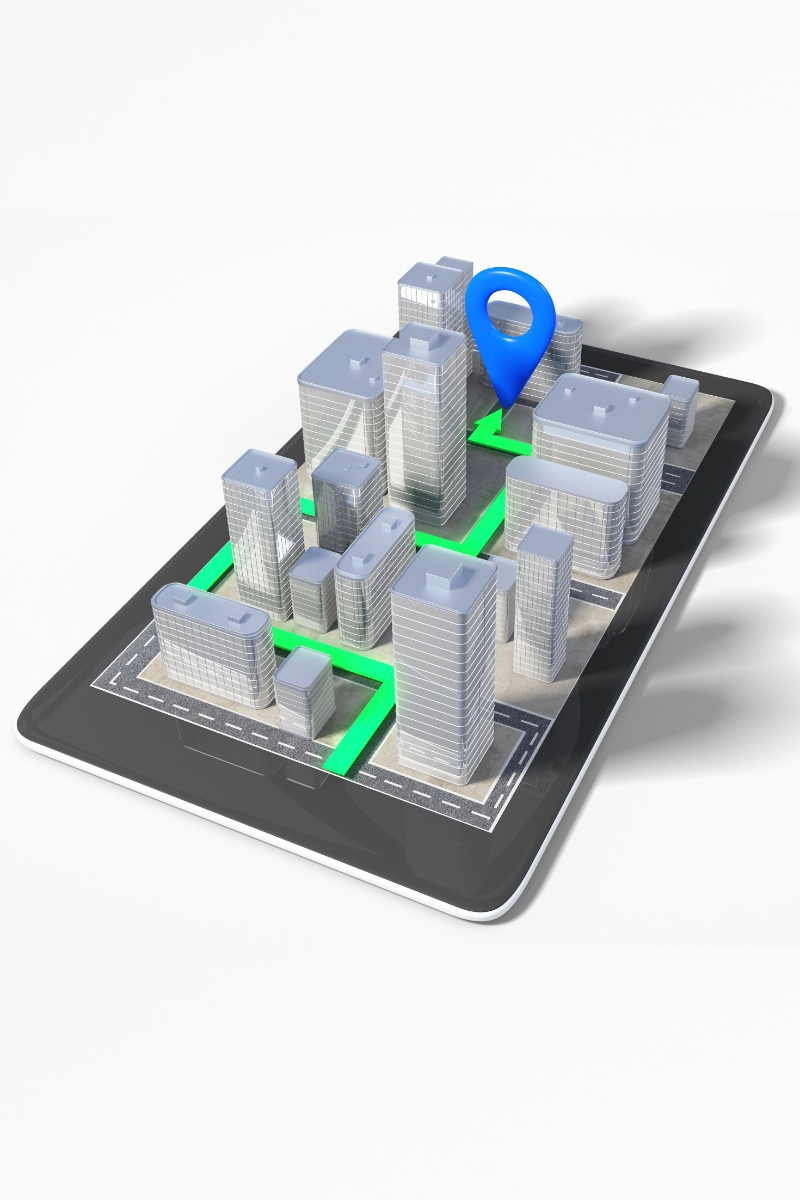
Helping tech firms move from a prototype to a commercially viable tool for the geospatial sector, with the technical and commercial structures needed to scale.
PRODUCT POSITIONING
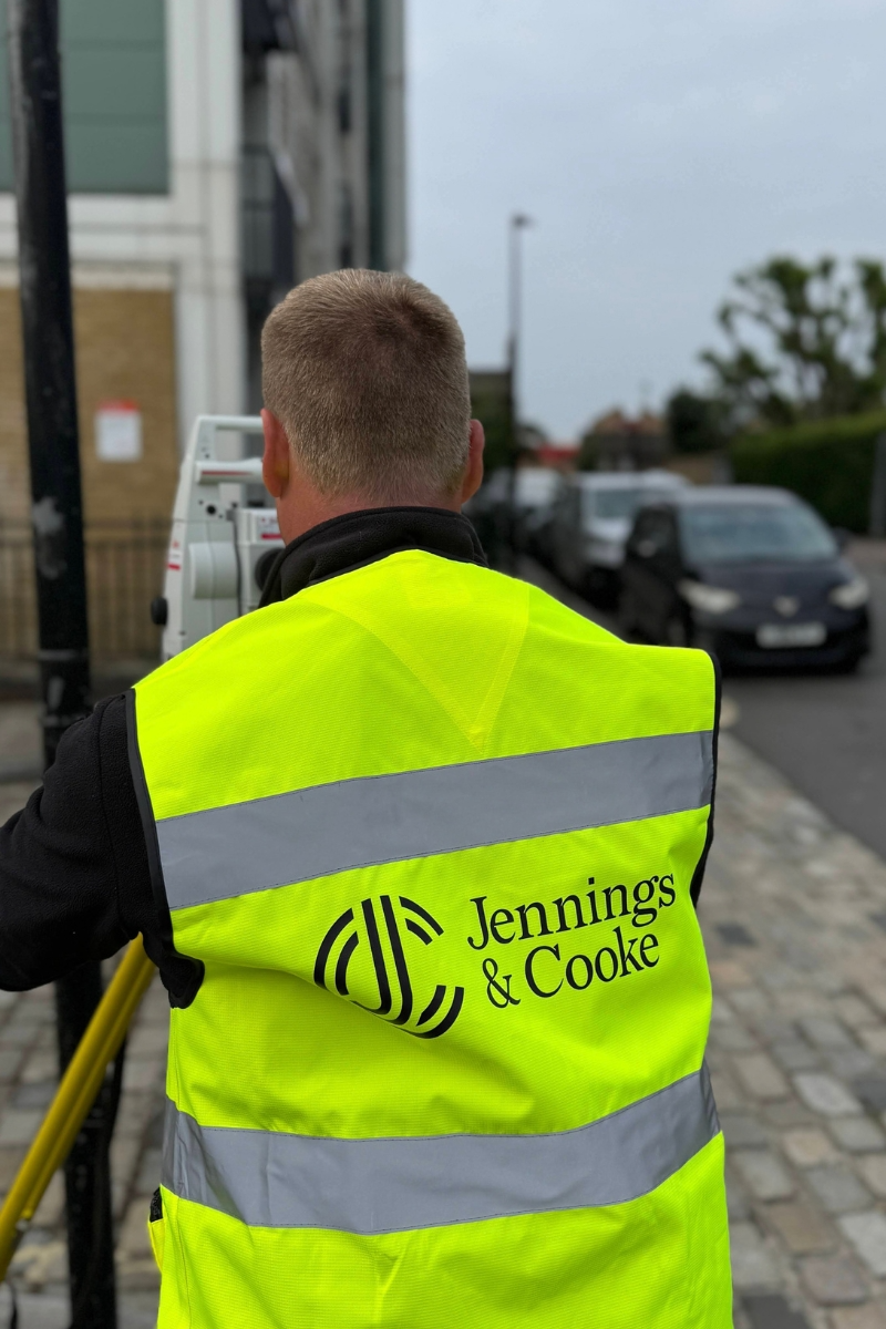
Independent research and testing of new hardware and software to confirm operational reliability and demonstrate ROI prior to production.
INNOVATION & CHANGE
Building Capability
When a team's capacity or skills are being stretched, our team brings the clarity, experience and leadership needed to strengthen internal capability. We embed the principles of Spatial Certainty across everything we do, giving your team the grounding and knowledge to deliver survey-grade data consistently. Our approach goes beyond basic instruction, offering hands-on mentorship and building the internal resilience a team needs to adapt to challenging project demands time and again.We're engaged on the projects where the margin for error is small and your team needs a senior technical lead.
How we support your team:
Training Design & Delivery
We design and deliver bespoke training across the full range of data capture and processing technology.
Field Training
Practical teaching for control installation, topographic surveying and precision data acquisition.
Processing Proficiency
Training in specialist geospatial software to ensure data is handled, cleaned and delivered correctly.
Quality Management
Mentoring team members to identify systematic errors and implement rigorous checking procedures
The Jennings & Cooke Standard
We strives to solve one critical problem: the lack of trust in spatial data.
By integrating high-order capture and technical processing with strategic oversight and team mentorship, we deliver trustworthy data built on a system of technical rigour and accountability.
We focus on mitigating risk, accelerating schedules and providing evidence that your digital assets are an accurate representation of the physical world. The result: data you have total confidence in.
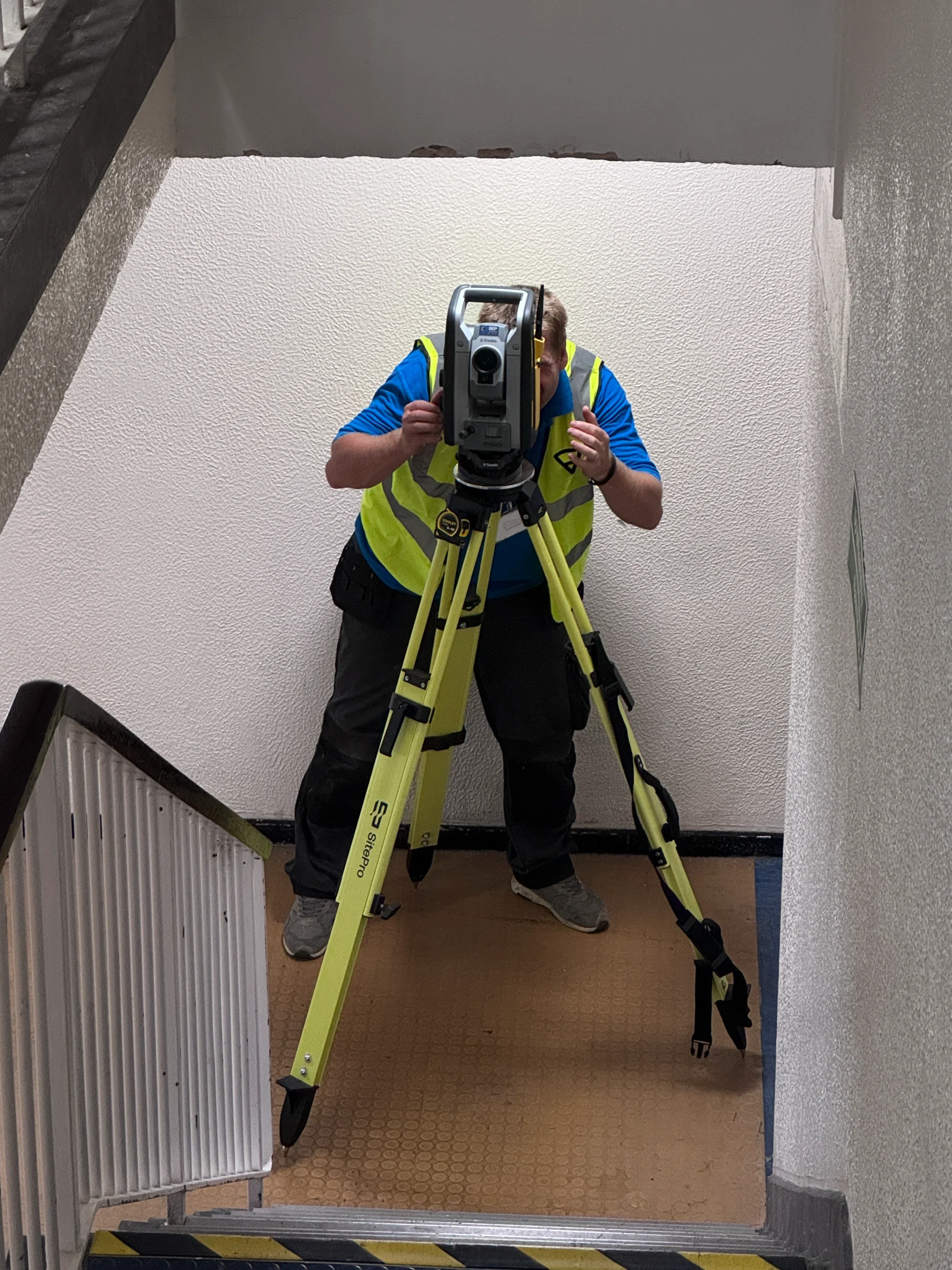
Trusted Where Spatial Information Matters.
Not sure where to start?
Every project comes with its own set of technical or commercial challenges. Whatever they are, we help your team navigate them and deliver data that's fit for purpose.