
Chartered Technical Leadership With a Commercial Perspective
WHO WE ARE
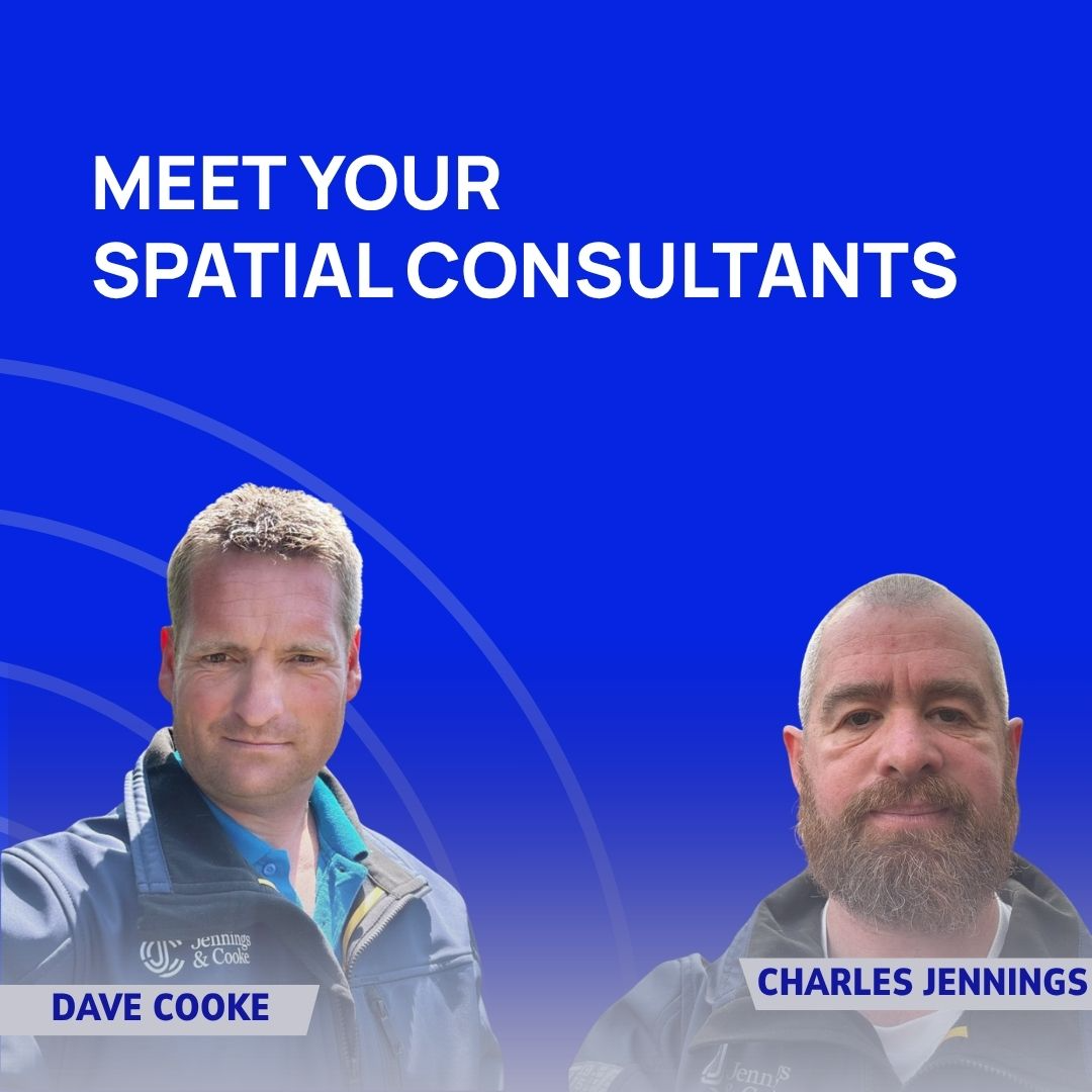
Jennings & Cooke combines technical surveying expertise, major infrastructure experience, commercial understanding and knowledge sector technology to deliver Spatial Certainty across geospatial projects. We are led by two senior practitioners Charles Jennings (MSc, MCICES) and Dave Cooke (TCInstCES, AssocRICS), and supported by a network of specialist geomatics and engineering professionals.
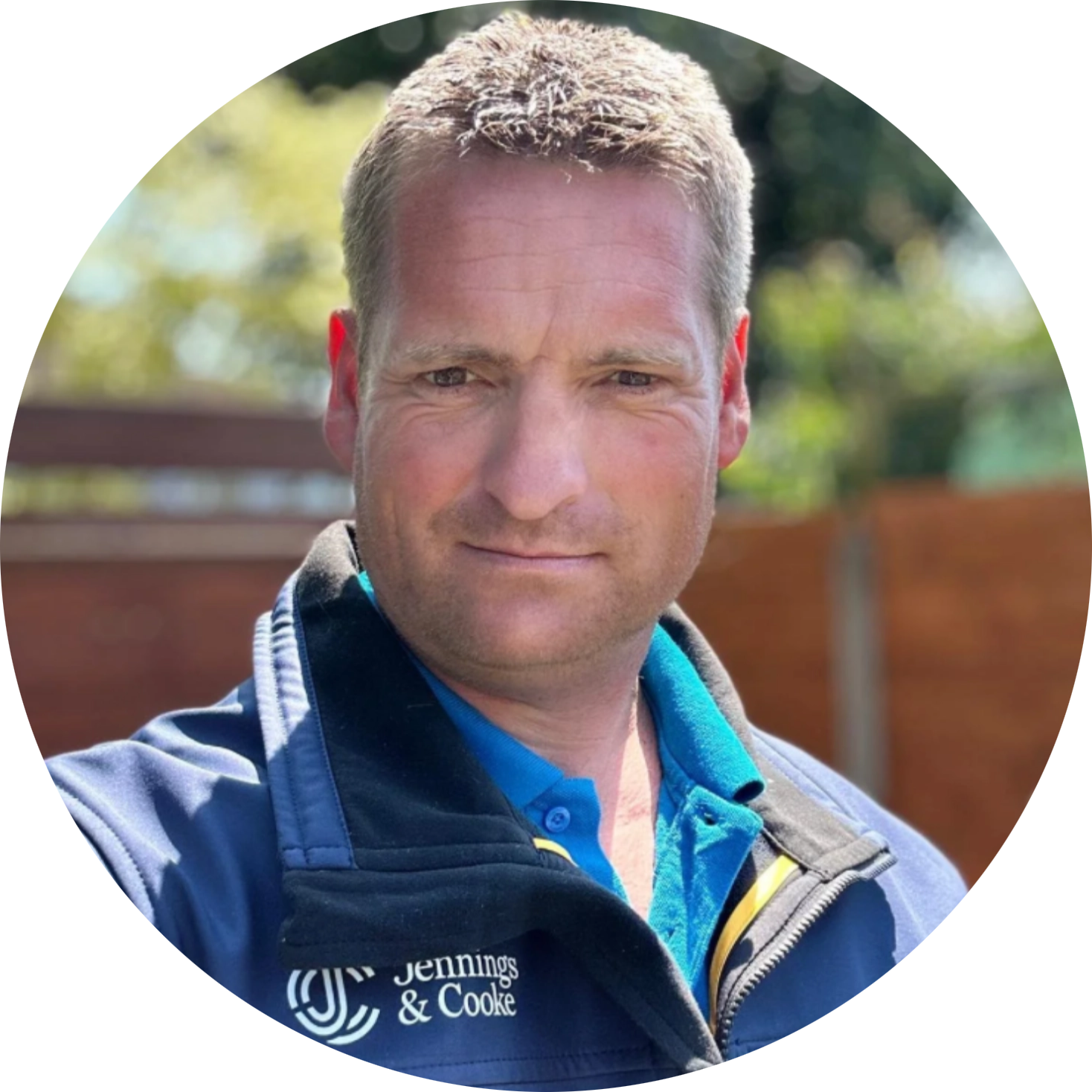
DAVE COOKE
Commercial Director | TCInstCES AssocRICS
Dave is a geospatial operations specialist with extensive experience planning, managing and delivering complex, large-scale survey programmes.
Before co-founding Jennings & Cooke, Dave was Head of Geospatial Technical Solutions at Technics Group, where he developed technical standards and training protocols the industry relies on.
His approach to risk management is underpinned by his experience with the West Sussex Fire & Rescue Service alongside his training as a manned aircraft pilot. This has shaped a decisive, risk-aware approach to complex delivery.
Operational Accuracy & Safety in High-Pressure Environments
Commercial Resilience: Managing financial planning and delivery to ensure project objectives are met without margin erosion
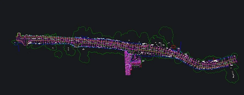
Technical Standards: Overseeing CAD, Scan-to-BIM, and professional reporting structures

CHARLES JENNINGS
Technical Director | Chartered Civil Engineering Surveyor (CCES), MSc
Charles is a Member of the Chartered Institution of Civil Engineering Surveyors, a charted civil engineering surveyor and remote pilot with an MSc in Geospatial and Mapping Sciences from the University of Glasgow. His experience spans major UK infrastructure, specialist survey delivery and geospatial technology.
He has worked across and held roles on major infrastructure projects, notably Align JV Colne Valley Viaduct & Chiltern Tunnels, ****and serving as an applications engineer for global tech innovators like Trimble, Emesent, GeoSlam and RIEGL, Charles understands the spatial rigour required for Tier-1 engineering projects to succeed. He specialises in establishing Spatial Certainty through:
Primary Control & Geodetic Networks
High-Order Laser Scanning & BIM Integration
Implementation of Geospatial Curriculum & Training
Technical Market Alignment for Geospatial Product Developers
A Scalable Network of Expertise
Beyond our core leadership, Jennings & Cooke works with a verified network of geomatics and engineering specialists. We understand the technical capabilities of the people within our extensive network and can bring in the right expertise when a project requires. Our network increases capability without diluting accountability. Jennings & Cooke always remains responsible for the technical coordination and standards of the work.
Professional Leadership and Governance
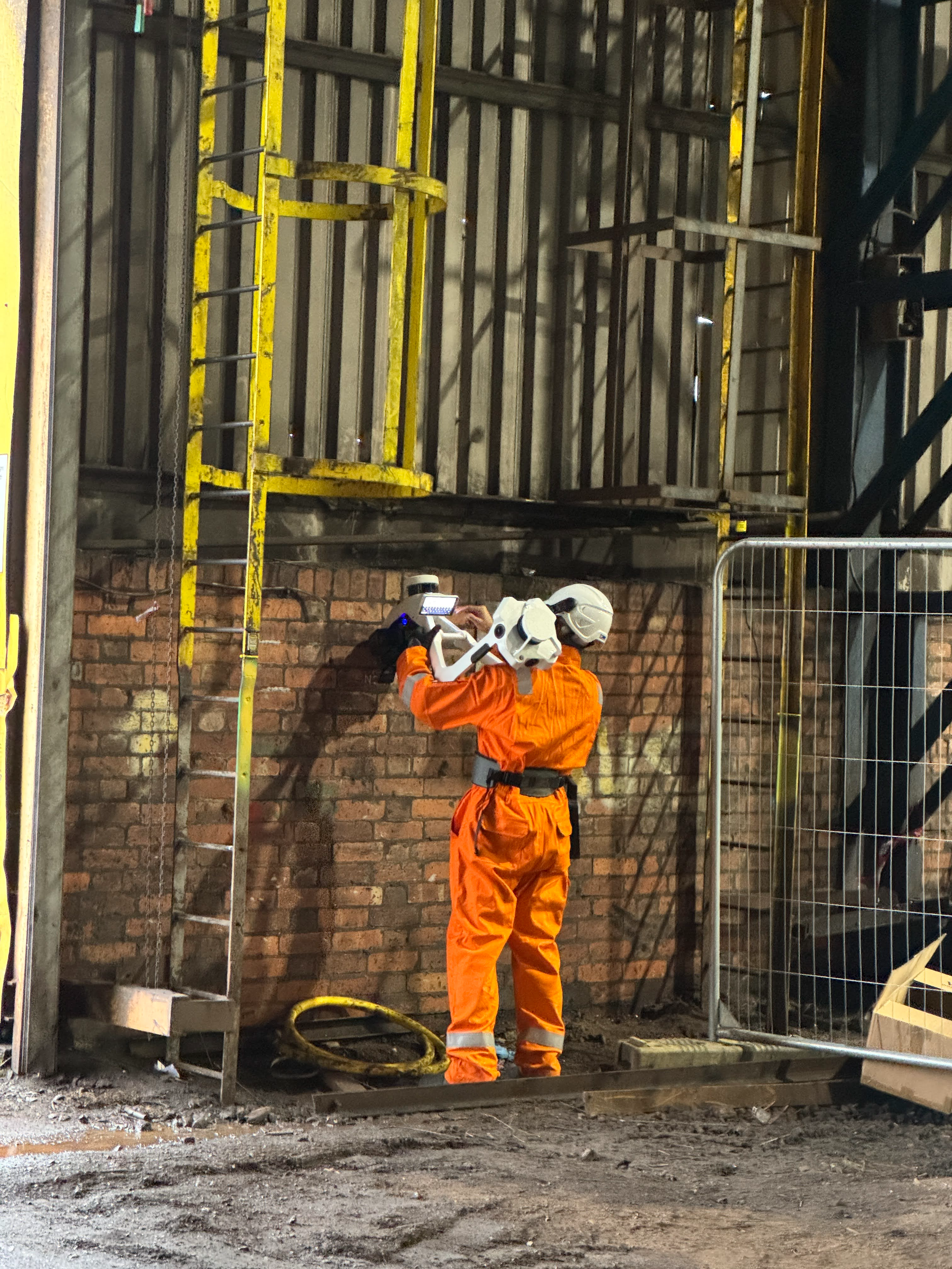
Our practice is grounded in the professional standards associated with CICES and RICS.
Charles and Dave’s experience across major infrastructure projects means we understand the technical, commercial and regulatory requirements associated with organisations including National Highways, Network Rail, HS2 and their supply chains.
Professional Accountability: Operating to recognised BSI and RICS standards to ensure defensible results.
Whether supporting a survey company, contractor, engineering consultancy or technology provider, we bring the same level of technical rigour and professional oversight to every engagement.