

We Provide Spatial Certainty.
Jennings & Cooke is a geospatial consultancy. Our team step in when spatial risk is highest and certainty is a necessity. We bring field experience, technical governance and commercial judgement to large-scale, complex projects.
Certainty in measurement. Certainty in process. Certainty in results.
Whether you are an asset owner, a digital asset management platform or a business that needs complex spatial data, we ensure your spatial foundation is sound and your decisions made with certainty.
While many surveying firms provide raw data, we deliver spatial certainty. We work alongside your team to define the requirement, deploy appropriate technologies and transform the data collected into the information you need to make planning, design and engineering decisions with confidence.
Who We Work With
At Jennings & Cooke, the breadth of our experience allows us to offer our services to a wide range of customers, some of which include:
Infrastructure & Engineering Teams
These are often Tier 1 contractors, survey firms, asset owners and engineering consultancies who need senior spatial governance on complex or high-risk programmes.
Digital Platforms & Visual Asset Managers
We understand that SaaS providers and visual asset management platforms need accurate, validated spatial data without the overhead of building an in-house survey capability.
Events, Venues & Non-Survey Businesses
A variety of organisations that need survey data but don’t know where to start. We’re with you every step of the way, removing the complexity and managing the risk on your behalf.
Supporting You to Deliver Geospatial Data with Confidence
From scoping through to handover, we take on the technical responsibility for your data, keeping the process accountable and the output accurate and timely. We define the right methodology, control the quality of data captured in the field, and add value to it in the office.. The result is spatial certainty, data that's assured, trusted and fit for purpose.
We're engaged on the projects where the margin for error is small and your team needs a senior technical lead.
How We Work
We provide technical support across the geospatial project lifecycle, from survey strategy and control through to data capture, quality control, delivery and adding value to the data. We help define robust methodologies, resolve technical challenges and ensure spatial data delivered is accurate, consistent and fit for purpose.
Our flexible engagement models are tailored to your project, from on-call support to long-term partnerships.
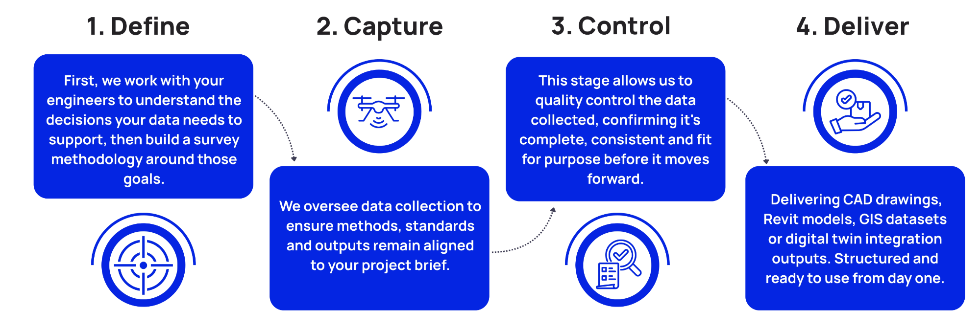
Our Data Capture Process
How our team deliver the essential data that meets all of your requirements.
Meet Jennings and Cooke
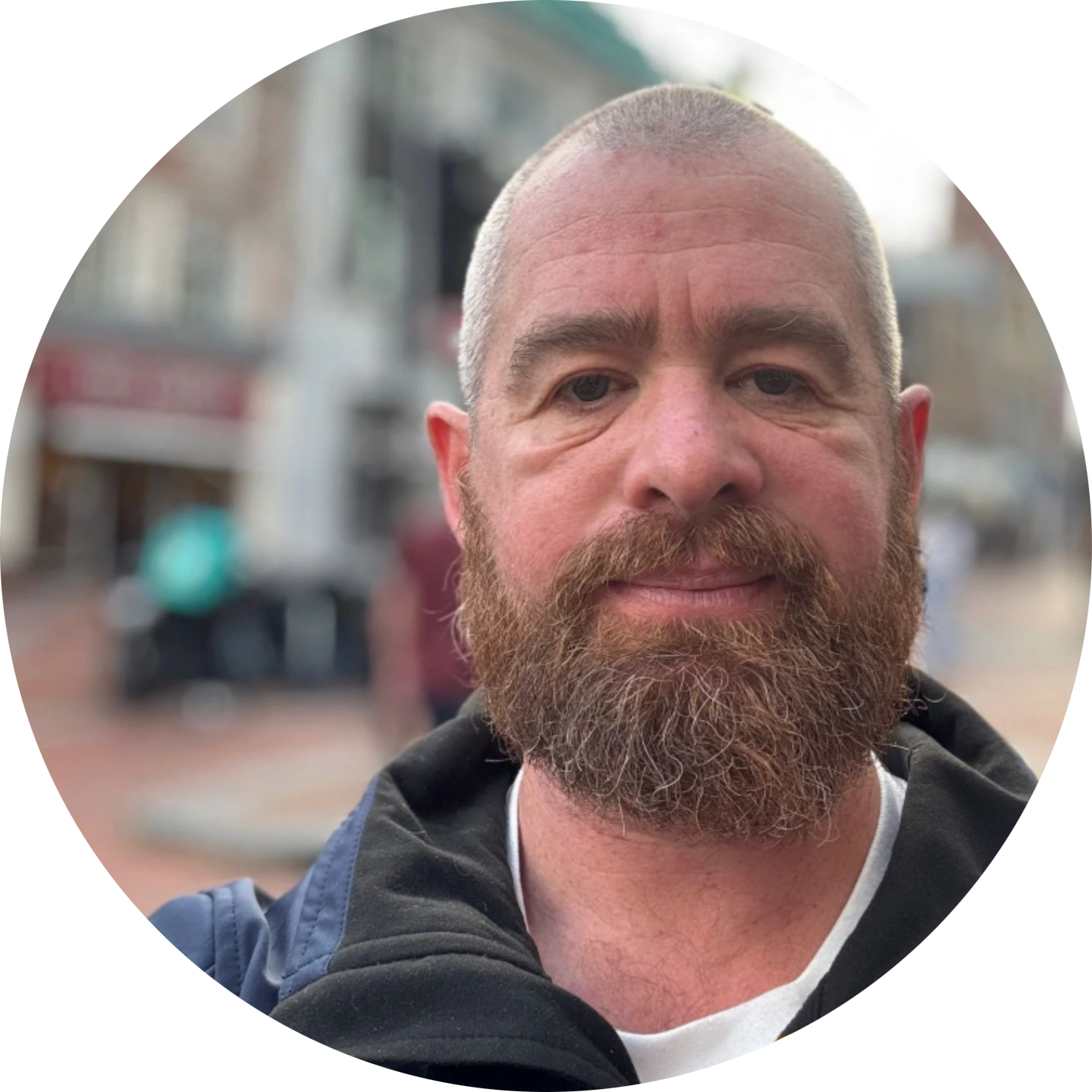
CHARLES JENNINGS
Technical Director | Chartered Civil Engineering Surveyor (CCES), MSc
As a Chartered Civil Engineering Surveyor, Charles’ expertise lies in high-precision surveys, geospatial technology and leading complex technical projects.
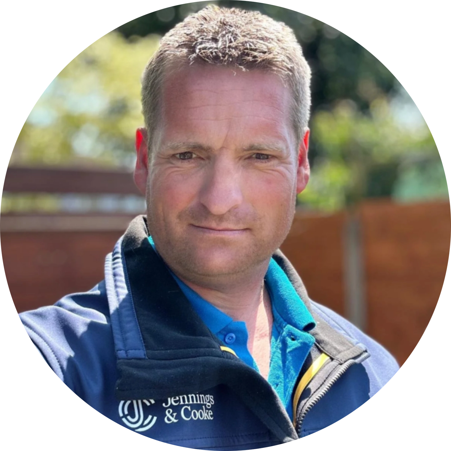
DAVE COOKE
Commercial Director | TCInstCES AssocRICS
From managing large-scale survey programmes to helping shape technical standards, Dave brings extensive experience as a geospatial operations specialist.
Reduce Your Spatial Risk.
When your internal geospatial resources reach their limit, you need a partner you can rely on. We provide the technical expertise, capacity and spatial certainty to keep complex projects moving. Get in touch to discuss how we can support your next project.
-
We provide governance and consultancy services across surveying and geospatial data collection. Our team's expertise gives you certainty that the right data is captured and delivered.
We're involved throughout the data capture process: where your team can't collect the data, we draw on our network of trusted contractors or conduct the work in-house.
Our governance covers surveying and data capture, including topographic and engineering surveys, laser scanning, SLAM LiDAR, UAV surveys, deformation monitoring, BIM modelling, CAD production, GIS integration, digital twin support and independent spatial data quality control.
-
Jennings & Cooke isn't a survey provider. We provide geospatial consultancy, technical governance and specialist delivery for projects where complexity, risk or innovation require experienced oversight. Our team often works alongside survey companies, contractors and engineering teams to strengthen delivery rather than replace existing resources.
-
Every dataset we oversee goes through independent quality control before it reaches your workflow. As consultants, our role is quality control of the results and quality assurance of the process.
We set the specification, check the methodology and verify the output against project requirements, whether the data comes from our national network of verified suppliers, our internal capacity or your own in-house team. This governance engineers out blunders and biases early and manages residual error before data can become the source of costly design, planning or engineering issues.
-
We support a range of industries that require accurate spatial data for planning, design and operational decision-making. This includes infrastructure contractors, survey firms, construction businesses and digital platforms & SaaS businesses.
-
Reliable geospatial data reduces project risk, prevents costly rework and provides confidence throughout design, construction and asset management. Fit for purpose spatial information helps ensure engineering decisions are based on accurate measurements and quality assured data. If you need confidence in the data behind your decisions, talk to Jennings & Cooke.
FAQs
Contact Us
If you would like to find out how Jennings & Cooke can bring spatial certainty to your project, get in touch with our team and we’ll guide you through the next steps with clarity and confidence.